

Greenbelt MD (SPX) Oct 26, 2021
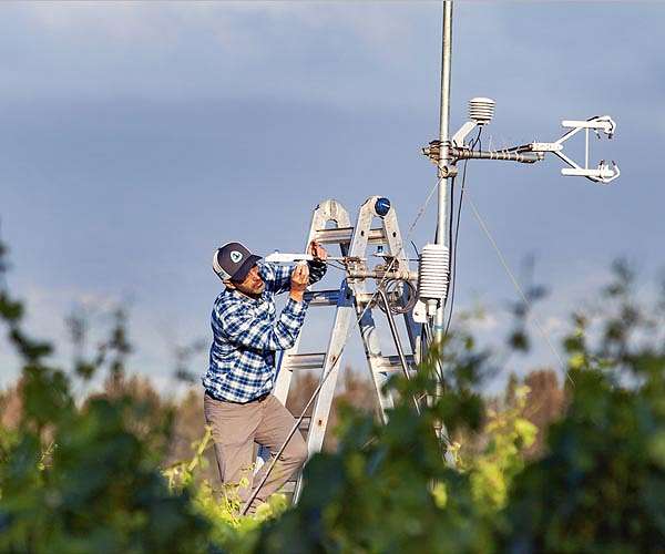
OpenET uses publicly available data to provide satellite-based information on evapotranspiration (the “ET” in OpenET). The primary satellite dataset for OpenET is from the Landsat program, a partnership between NASA and the U.S. Geological Survey (USGS). The most recent satellite in the program, Landsat 9, successfully launched on Sept. 27, 2021. Evapotranspiration is the process through w
http://dlvr.it/SBNQZ9
